Template:RSC page Template:2007 page

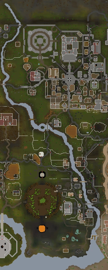
A map of the River Lum
The River Lum is a river flowing through mostly Misthalin and the Wilderness, moving north-to-south. It is the longest river in Free-to-play, and the second longest river in RuneScape. Its source is in the Wilderness, north of the Wilderness Volcano. It runs as an underground stream until it emerges just north of the Wilderness border. It filters out to the sea on the Misthalinian-Kharidian border. The town of Lumbridge is named after the river.
Travelling the river
.png)
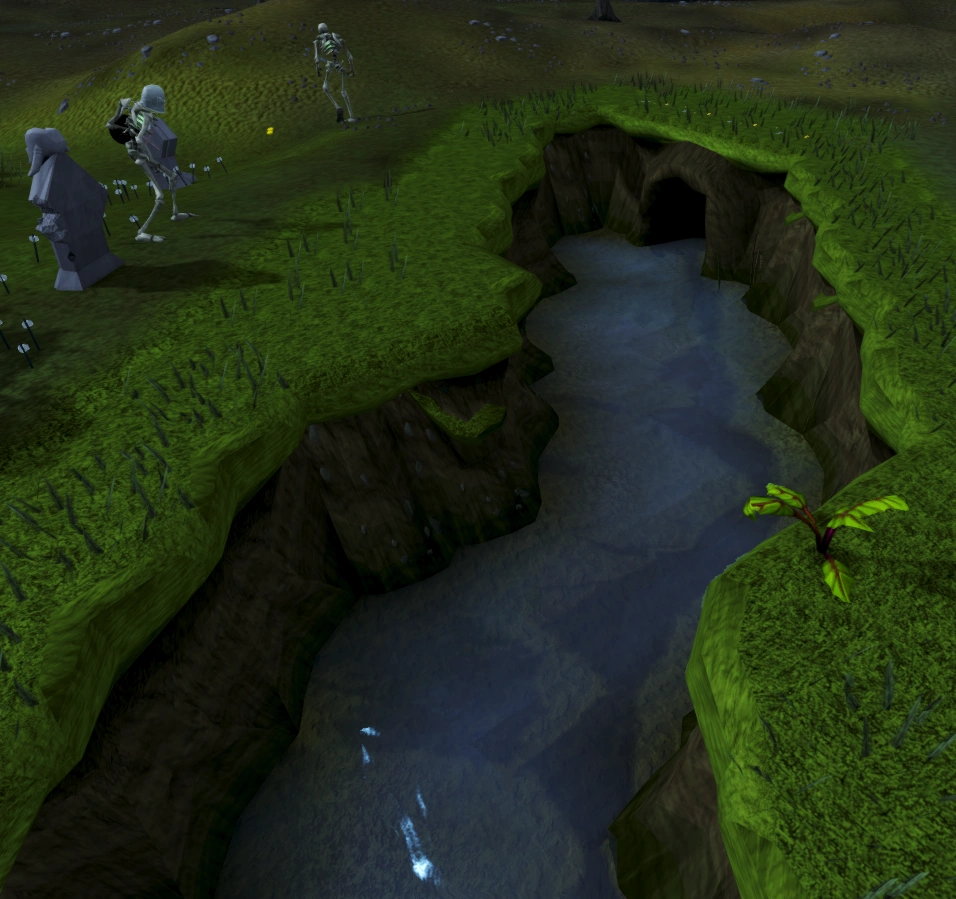
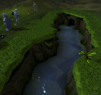
The end of the River Lum
Travelling up the river rather than across is possible by using canoes. It is also possible to travel to level 46 Wilderness, though the river is not visible there.
Fishing spots
The River Lum has some important fishing spots in several locations. There are several fly and bait fishing spots in Lumbridge, and Gunnarsgrunn along the river. These are the only places in free play to catch salmon, trout, or pike. Using a small cage there are some spots to catch crayfish as well.
Gallery
.png "River Lum (Water mill).png (1.63 MB)")
.png "River Lum (Edgeville).png (1.08 MB)")
.png "River Lum (Lumbridge).png (1.32 MB)")
Trivia
- The River Lum's name is just like a river in Cambridge, near Jagex HQ, called the River Cam.
- There are only four settlements by the river - Lumbridge, Gunnarsgrunn, Edgeville and Al Kharid.
- There are seven bridges over the River Lum. They are: south Lumbridge - south Al-Kharid (doubles as the Daemonheim boat dock), Lumbridge castle - east Lumbridge goblins, Lumbridge furnace - east Lumbridge farm, Beefy Bill - Champions' Guild, Draynor Manor - Varrock south-west mine, Gunnarsgrunn - Varrock, and Edgeville - Grand Exchange tunnel.